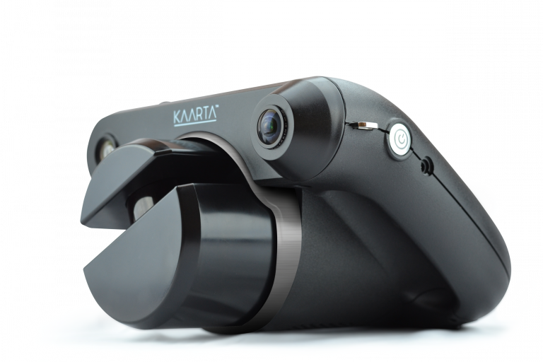
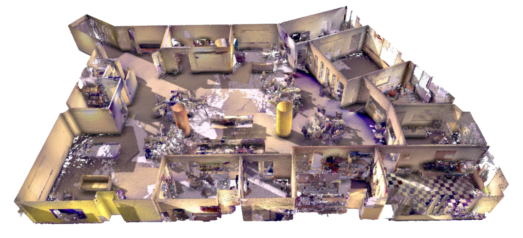
Lightweight and battery–powered, Contour is hand carried through an environment as it scans to generate a 3D map without any additional infrastructure. A typical 10,000 sq m (110,000 sq ft) space can be scanned in about 2.5 hours. Freed from a fixed position tripod, Contour can capture tight and complex spaces never before possible.
Kaarta Contour
Integrated, hand carried real-time 3D mapping system
A whole new approach to reality capture
Reality Layer
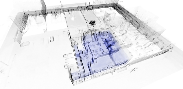
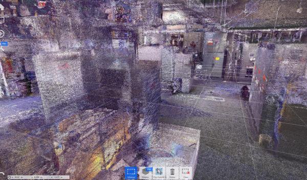
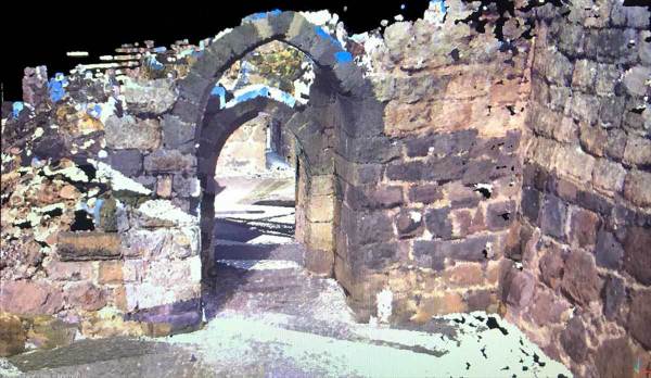
Kaarta Reality Layer integrated post-processing enables one-click cleanup and colorization of Contour datasets, running the gamut from point cloud to surface mesh to RGB point cloud to rich photorealistic model. These colorization capabilities make it possible to quickly capture and process just the level of color detail needed for a wide range of applications.
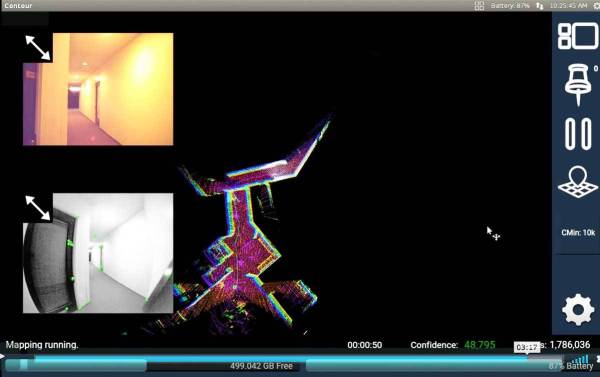
Real Time Viewing and Control
Contour’s onboard touchscreen enhances ease and usability. The screen displays the model as it’s being built to provide immediate knowledge of the environment. The ability to pause while scanning or set key poses and resume from those poses gives the user maximum control during the capture process, especially useful when there is limited time or access to a site.
Intelligent Assistance to Get the Scan Right
On-board Assistance
In addition to Reality Layer, Kaarta continues to provide rich and sophisticated software updates, all free to existing and new customers.
Transition Mapping Mode dramatically eliminates many alignment issues associated with room transitions such as doorways during scanning. Other transitions such as the “opening up” at the end of an aisle in a warehouse, turns in hallways, and stairwells all benefit from this new feature.
Soft Pause prevents the unwanted addition of a moving object, such as a person entering the scanning area, to the model. It also can be used in difficult transitions while scanning such as turning around in a narrow space, opening a door, or retracing through an already mapped space.
Expandable Camera View allows the user to customise the on screen view to suit the application.
Save Colour Images enables tagging and labelling of colour images and is particularly useful for capturing notes during scanning.
Scan Detail includes an array of information about the scan, cover photos, editable notes fields, viewing, converting and copying file management functions, and access to post-processing functions for Reality Layer.
Improved Startup Initialisation intelligently builds a better base for the mapping process, reduces early errors, and provides better gravity alignment.
Pause/Rewind/Resume has improved viewing, reliability and functionality.
Colour Imaging improved auto-exposure responds to varying lighting conditions.
Error Reporting during scanning alerts users if there is a mapping sensor failure or processing failure and will automatically pause and rewind to the last good mapping result, allowing the user to try to resume or end the scan and save the already scanned data.